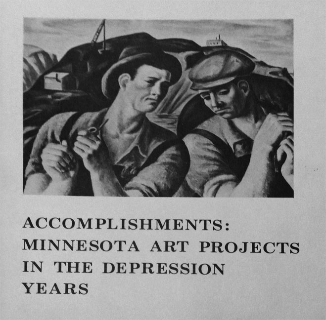
Ever walked by a mural and wondered about the history behind it—who painted it and why? In a folder titled simply “WPA”, I found materials meticulously documenting the locations and conditions of WPA murals made in Minnesota. Artists painted these historic murals during the Great Depression as part of the economic relief provided by the Work Progress Administration. The murals adorned public buildings such as post offices, the State Fairgrounds, University of Minnesota buildings, and Fort Snelling.
In 1976-1977, the University Gallery exhibited a show highlighting work like these murals, titled Accomplishments: Minnesota Art Projects During the Depression Years, which went on to tour other locations in the state. The mural research was in preparation for this exhibit.
My favorite find from this file: a large delicate sheet of yellow tissue that displays a pencil-drawn map of Minnesota, with the names of cities and numbers next to them (perhaps indicating the number of murals located there). I also discovered a book containing information about the murals, whether they still existed in 1976, and whether they were in good or poor state of repair. Sadly, it seems that the majority of the murals were painted over or the buildings were knocked down, so not many remained in 1976, and even fewer still exist today.
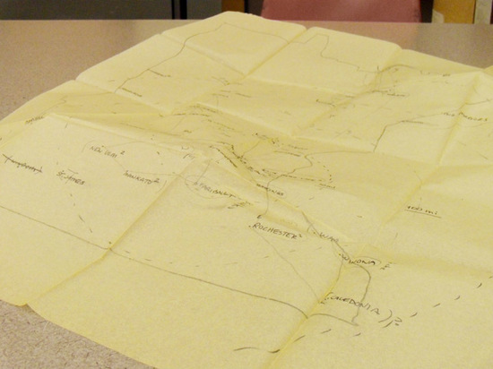
Mapping Minnesota WPA murals
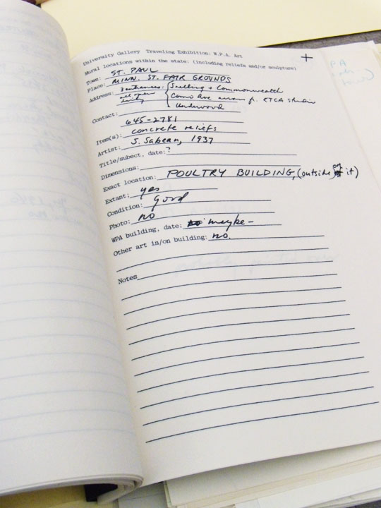
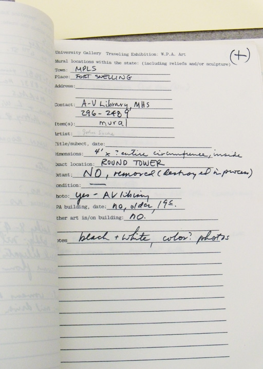
Book outlining the location and condition of murals.